Map Data Updates
Contents
Current, accurate map data is the backbone of all of our products. It ensures our customers generate the best and safest routes for their vehicles.
For more than 35 years, Trimble Maps has been curating map data specific to commercial vehicles—providing details ranging from height, weight and hazmat restrictions to road classifications and historical traffic speeds for every link in our road network.
We also provide customers with tools to create and manage their own custom map data to meet their business needs.

What types of map data are available?
All of our applications include highway data, street-level data, or both, for at least one region of the world.
Depending on the product, and your level of licensing, geocoding and location searches are enhanced with:
- Point addresses, which are exact GPS coordinates matched to each address. (Available in North America, Europe, Middle East, Oceania, and South America for CoPilot, with Single Search, and Web products.)
- ZIP codes (U.S.) and postal codes (this includes very detailed postcodes in Canada, Ireland, UK, Argentina and Brazil)
- Standard point location codes (SPLCs) (North America Only)
- Land Survey Addresses in the U.S. and Canada (DLS, PLSS)
- Points of Interest (POIs), including Energy POIs
- Trimble Places
Commercial vehicle routing is enhanced with:
- Road attributes such as one-way roads and speed limits
- Additional truck attributes including physical (weight, height, width, and length) and legal restrictions.
- Vehicle routing profiles to generate routing based on vehicle type
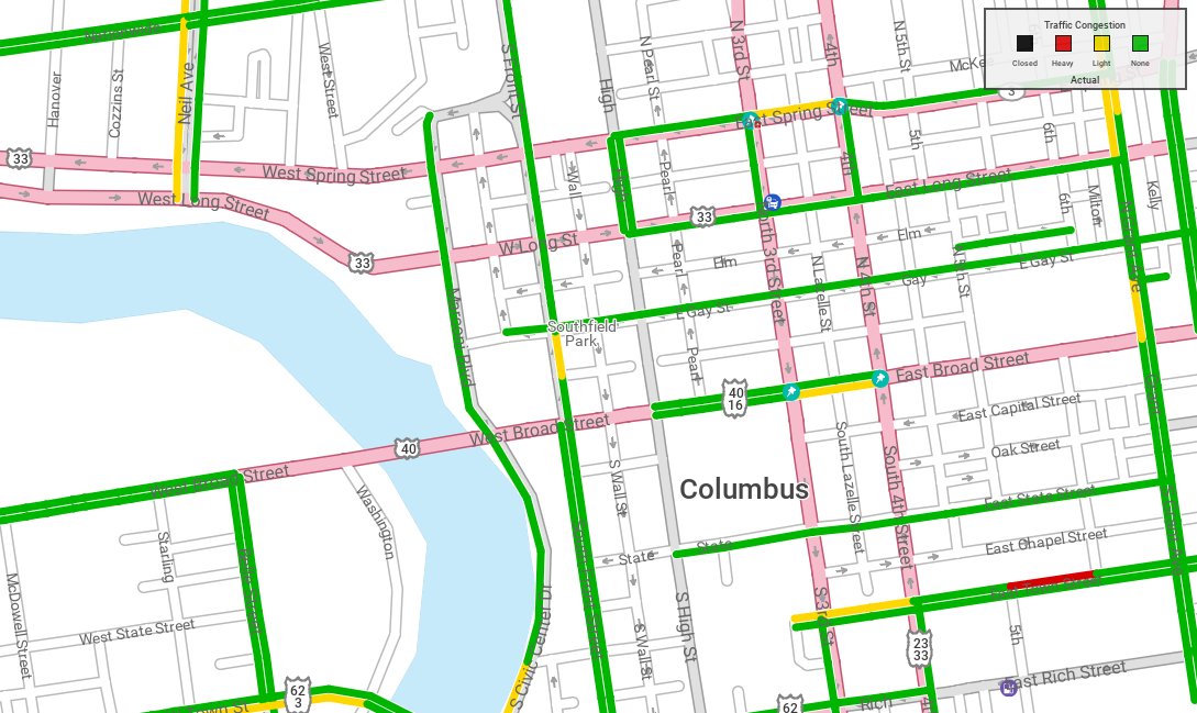
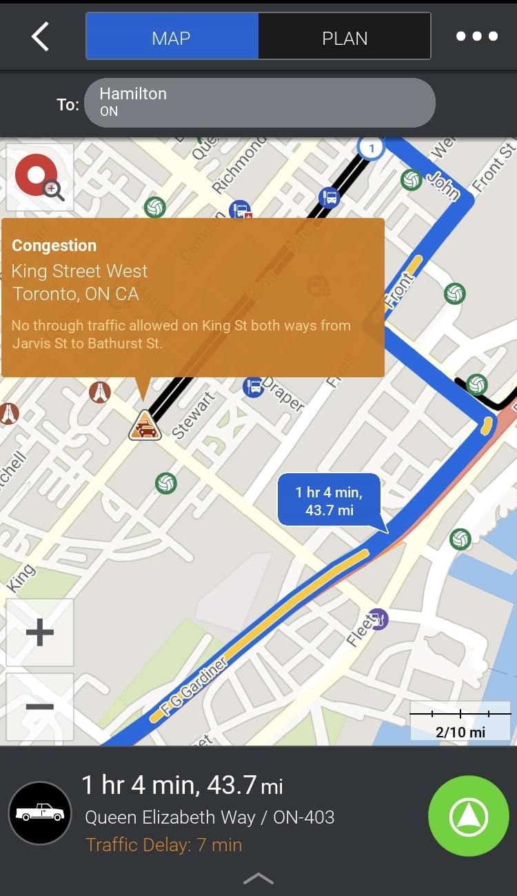
- Historical traffic
- Hazmat restrictions
- Toll costs (North America and Europe)
- Oil and gas lease roads (North America Only)
- “Live” data such as traffic and weather
Map data sets are available by major regions, including North America and Worldwide (the rest of the world), as well as other regions including Europe, Asia, Oceania, South America, Africa, and the Middle East.
Our North America and Worldwide data are also available in numbered, annual versions dating back 15 years for companies who are using PC*Miler for rating.
Who provides the map data?
Our map data for North America is compiled, developed, and maintained by our dedicated team of GIS Engineers who continuously update the database with new roads, communities, and addresses.
We use numerous sources to obtain official information on bridge heights and clearances, load limits, weight limits and allowances, one-way road designations, left-hand and dangerous turn restrictions, urban road classifications, as well as hazmat, truck-restricted, truck-designated and truck-prohibited roads. Every vehicle and time-based toll cost in North America is sourced from the respective toll authorities.
Outside of North America, we integrate premium quality commercial-grade core map data from our partner HERE into our products. In addition to comprehensive street-level mapping, addresses and points of interest, this data includes additional attribution such as road speed limits, lane and highway signpost information.

How often is map data updated?
Our core map data is generally updated and released on the following schedule:
- North America - two to three times a quarter.
- Europe - once a quarter.
- Oceania - once a quarter.
- Asia and South America - twice a year.
- Africa and the Middle East - once a year.
- The Worldwide data set is also updated and released once a year as it is used as a standard by the U.S. Department of Defense (DOD) for generating distances worldwide.
The availability of map updates varies by application, license and/or region, depending on:
- Whether the data is stored in the cloud or downloaded and installed on a device.
- The type of application. (For CoPilot navigation, for example, we offer professional and consumer apps, with different map update frequencies). Often CoPilot is embedded into a partner application, in this case the map updates are delivered by the partner who developed the overall application.
- The region of the world. (Europe and North America are updated more frequently than other regions.)
- The data type. (Europe toll data, for example, is updated monthly, while map data is updated less frequently.)
How is map data delivered to Trimble Maps products?
Our map data is delivered in two ways:
- Updated in the cloud for our JavaScript maps and APIs and our PC*Miler Web applications. (All “live” data for all products, including traffic, is also updated in the cloud.)
- Downloaded and installed on a mobile device (CoPilot) or a desktop computer or server on premise (PC*Miler and DirectRoute). Data can be downloaded on mobile devices via a wireless network (Wi-Fi or cellular) or installed on devices via mobile device management (MDM) software.
How do customers access data updates?
Updates for our web products are available immediately upon release, while our installed applications require users to download and install data updates. Most of our applications provide customers with alerts when new data is available to download.
If CoPilot is being run through a partner application, such as a telematics solution, the partner application may install updates.
How can users customize data?
Trimble Maps has two web-based tools available as paid add-ons that allow you to customize map data and immediately use it for route planning or navigation:
-
(Worldwide) ContentTools allows you to add detailed custom location information to your maps, including information about an entire site (such as a business park, warehouse facility, etc.) It can also be used to create Route Modifiers, which are roads that you want routes to avoid or favor.
-
(North America, Europe and Oceania only) MapExact allows you to make custom edits to our map data to suit your company’s needs—things such as adding new roads or changing attributes for existing roads (speed limits or restrictions.) These edits are private to your fleet.
(North America only) Separately, we have a free MapSure web tool where users can submit edits to our map data to be included in a future map update. MapSure submissions are reviewed for accuracy by (GIS) experts before being released as part of Trimble Maps data.
What’s new in Trimble Maps data?
Please see our Support Center for release notes about recent data updates.
Share this article: