Map Visualization (Maps SDK)
Contents
Our Maps SDK gives you the flexibility to embed interactive, highly customizable maps into your web, desktop or mobile applications. With Trimble Maps SDK, you can visualize:
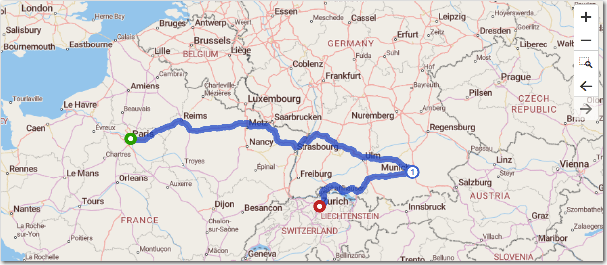
- PC*Miler distances and route paths for locations throughout the world.
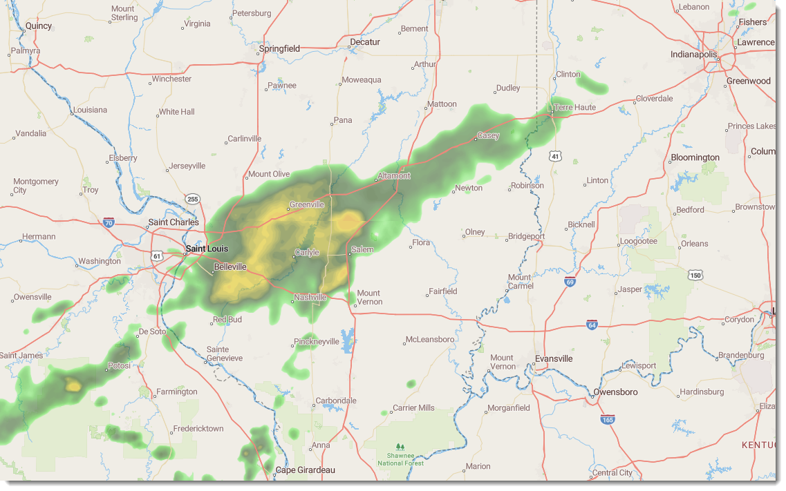
- Conditions that can impact routing, including traffic and weather.
- Points of Interest and Trimble Places for the transportation industry, ranging from truck stops and warehouses to Walmart overnight parking locations
- Three-dimensional buildings, addresses for parcels of land, and more
Our maps are built using commercial vehicle-specific data, enabling you to plan and visualize safe, legal, and efficient routes for all types of vehicles globally. We continuously update our database with new roads, communities, and addresses by sourcing official information on bridge heights and clearances, load limits, road designations, restrictions, and more.
Typically, the Maps SDK will be used to visualize data on top of the map. Data could vary from simple dots-on-a-map to more complex pieces like 3D buildings, route paths, geofences, and more.
What are vector map tiles?
Online interactive maps were traditionally composed of a series of raster image tiles or pixels that were pre-built on the server and sent to the website. These cells were stitched together to create a map. As you zoom in and out and pan the map around new tiles would be sent from the server.
The Maps SDK uses the latest generation of interactive mapping, vector tiles. Like raster tiles, they represent a fixed, small area. Instead of being pre-rendered on the server, the data in the tiles is delivered as a set of line, point, and polygon data. This raw vector tile data is combined with a style sheet in the web application to draw the maps in real-time right in the browser.
With WebGL, an API that renders 2D and 3D graphics in most modern web browsers without the need for plug-ins, vector maps can be used natively in iOS and Android and support high-resolution devices.
How do vector tiles work?
An individual vector tile is stored in the MVT specification, a standard format for vector data. MVTs are created from GeoJSON, a format for encoding a variety of geographic data structures, including:
- Points, such as a business or another addressed location
- Lines, such as local roads and highways
- Polygons, such as boundaries that show land parcels, states, countries, etc.
This data is sent from the server and maps are rendered locally on the device.
What are the benefits of vector maps?
Because the rendering is happening locally, vector maps can be customized with your own desired styling. Items ranging from text fonts to line colors can all be customized on the client-side. You can switch on/off single layers or change styles without sending another request to the map tile server. In addition:
-
Vector maps have no fixed resolution and can be drawn at any scale or pixel density on all devices. They look sharp and fonts are the correct size on mobile devices as well as laptops and desktops.
-
The data sent in a vector tile is often smaller than a raster image and overall uses less bandwidth and is faster.
-
Because vector maps are not a fixed scale, zooming is smooth and continuous and even allows for 3D tilting and rotating the map.
Routing and reports with the Maps SDK
The Maps SDK sits on top of the same data for commercial vehicles used in all Trimble Maps web APIs. This data includes bridge heights and clearances, load limits, weight limits and allowances, one-way road designations, left-hand and dangerous turn restrictions, urban road classifications, as well as hazmat, truck-restricted, truck-designated and truck-prohibited roads.
You can add routes to your map using a wide variety of options to customize the route for your vehicles and fleet.
You can call all of the reports available in our web APIs and PC*Miler desktop application, including Mileage and Detailed reports.
For more information, please see:
Share this article: