Maps SDK v4 Release Notes
Contents
Maps v4.2.7
February 2026
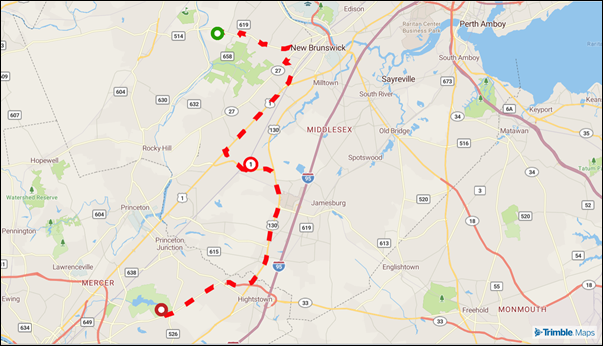
NEWYou can now display a route path as a dashed line usingTrimbleMaps.Route(routeOptions)>lineOptions.
NEWEuropean customers can now specify aCO2Classin theTrailerCfgroute option to calculate accurate toll costs in countries that use emissions-based pricing. See toll detail CO2 classes for configuration details.
Maps v4.2.6
January 2026
IMPROVEDThis version includes internal performance improvements that do not impact how developers and users interact with the SDK.
Maps v4.2.5
September 2025
-
NEWIntroduced an example for building an animated walking tracker. This sample demonstrates how to display real-time movement on the map to support use cases such as fitness tracking, guided tours, and live delivery updates. -
FIXEDStandardized Single Search URLs for location searches in both AWS and Azure environments. This update ensures consistent configuration across cloud providers, and reduces the risk of mismatches.
Maps v4.2.4
August 2025
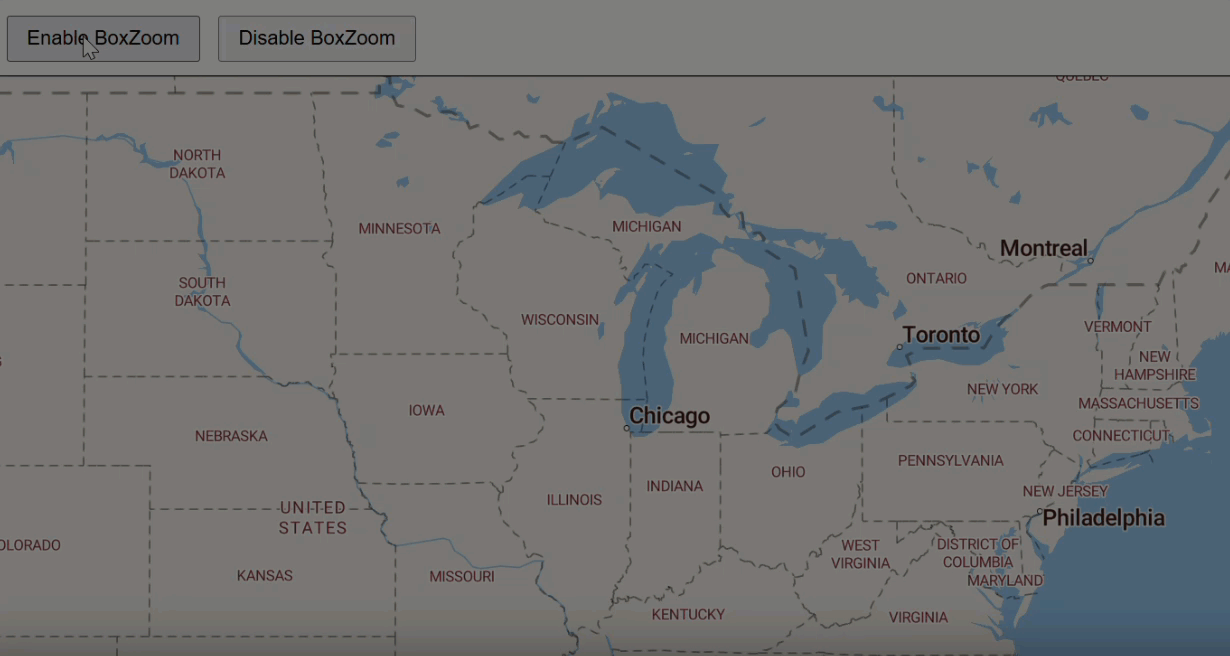
NEWAdded APIs to enable or disable box zoom interaction on the map:map.boxZoom.enable()andmap.boxZoom.disable(). Box zoom lets users hold the Shift button and drag to draw a rectangle, zooming the map to the selected area. This feature is disabled by default.
NEWAdded asetCloudProvidermethod to dynamically switch the base cloud provider URL (e.g., to Azure). By default, the SDK uses AWS-hosted services.
Example usage:
TrimbleMaps.setCloudProvider(TrimbleMaps.Common.CloudProvider.AZURE);
TrimbleMaps.setCloudProvider(TrimbleMaps.Common.CloudProvider.AWS);
IMPROVEDUpdated thesetRouteState()method to enhance route highlighting. When setting a route as inactive (setRouteState(false)), both the route line and its stop icons are now visually dimmed. This provides a clearer distinction between active and inactive routes on the map.
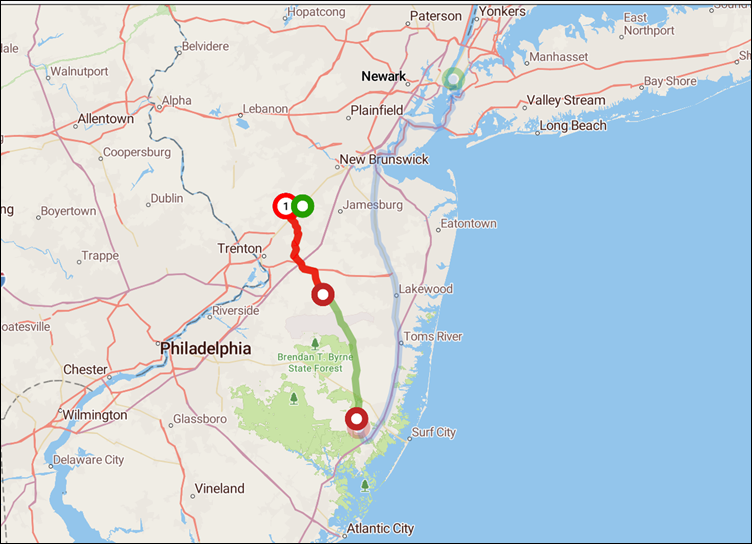
IMPROVEDAdded examples for route dashed-line styling and optimizing markers.
Custom Places Add-on v2.2.1, Energy Add-on v2.2.1, Route Modifiers Add-on v2.1.1
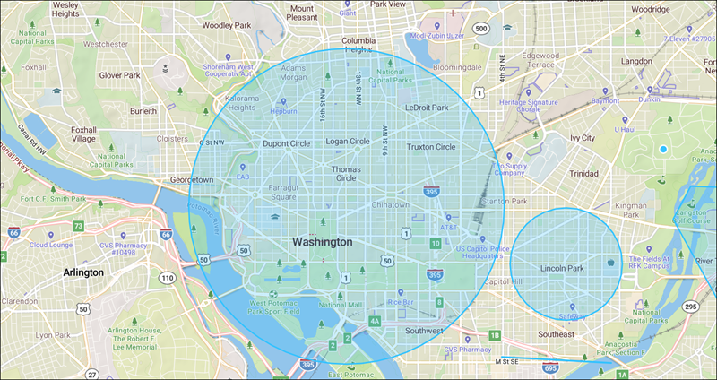
IMPROVEDPop-ups now close when the user presses the Esc key.
Draw Tool Add-on v2.2.1
FIXEDThe default radius used in DrawCircle mode was fixed to correctly represent the default metric value of 1 km.
Map Menu Add-on v2.2.1
-
FIXEDThe 3D Buildings layer is now automatically disabled in the Content Layers menu when the Satellite map style is selected, preventing console errors and improving stability. -
FIXEDResolved an issue where Places remained visible on the map after being disabled by the user in the Content Layers menu.
Draw Tool Add-on v2.2.0
June 2025
IMPROVEDAdded a new tool to draw circles on the map.
Maps v4.2.3
June 2025
IMPROVEDAdded support for passing a ZIP code without coordinates to the RoutePath and Report services.FIXEDImproved handling of API responses with 204 No Content.FIXEDFixed issues with truck restrictions on the map, including the display of turn restrictions on roads that have no turns.
Maps v4.2.2
April 2025
FIXEDFixed route option region and DataVersion value when no default value is set for the map.FIXEDRoute options default data version fixFIXEDFixed issue where active route stops were not highlighted on the map
Maps v4.2.1
March 2025
IMPROVEDAdded a new method to log whether content layers have been successfully loaded. Acontent.add eventis displayed in the console to verify the layer has been added.FIXEDFixed a Points of Interest (POI) console error in the Map Menus add-on.
Maps v4.2.0
February 2025
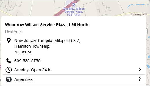
IMPROVEDImproved the display of details in Places pop-ups.
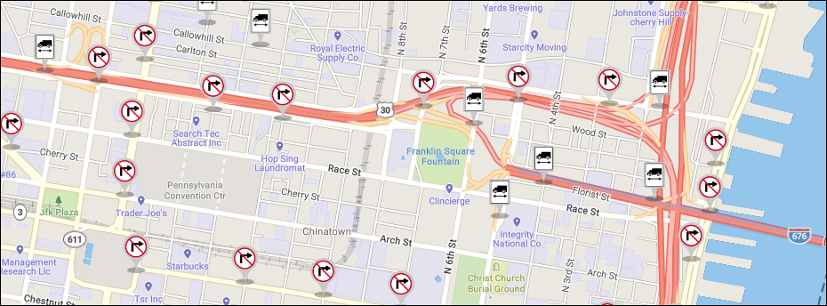
IMPROVEDAdded turn restrictions to the Truck Restrictions map layer.
-
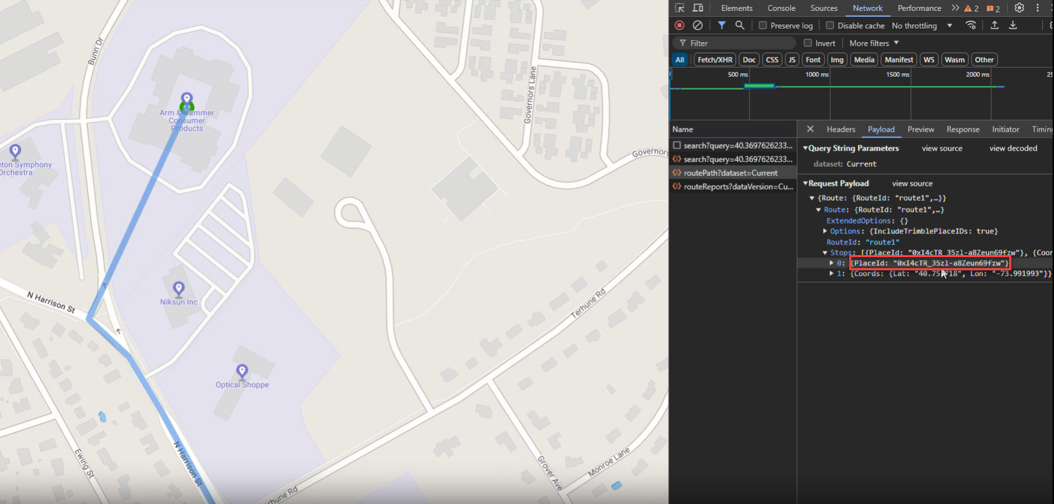
IMPROVEDThePlaceIdparameter can now be included in route path and route reports API calls. This allows for routing to your company’s private (custom) places created in ContentTools or with the Places API. -
FIXEDFixed the display of traffic flow in the Oceania region so it does not overlap other icons. -
FIXEDFixed console errors when clicking certain truck restriction icons.
Maps v4.1.0
November 2024
IMPROVEDWhen you drag and drop the route path on the map to create a new stop to a Place (custom or public), theplaceIdof that place is now passed inroutePathandrouteReportrequests.
Maps v4.0.0
October 2024
NEWJavaScript Maps SDK v4 includes a wide range of new features and updates to improve performance, customization, and user interaction with maps embedded in your application.
Key updates for Maps v4 include:
Speed and performance
Maps v4 offers high-performance vector tiles with customizable styles and layers. Optimized for performance, including efficient rendering and data management, Maps v4 supports large datasets and smooth interactions. In addition, the new version:
IMPROVEDImplements efficient caching strategies for tiles to avoid reloading and rendering tiles that have already been processed. This reduces redundant work and speeds up map rendering.IMPROVEDPrioritizes the loading and rendering of tiles based on the current view and zoom level. Tiles that are currently visible or likely to be visible soon are loaded first, enhancing responsiveness.IMPROVEDImplements throttling techniques to manage high-frequency events more efficiently, ensuring that the map remains responsive under heavy user interaction.IMPROVEDEmploys asynchronous loading of map resources (such as tiles and data) to avoid blocking the main rendering thread and ensure a responsive user interface.IMPROVEDUses debounced event listeners to limit the frequency of event handling (e.g., during panning or zooming), reducing the computational load and improving responsiveness.IMPROVEDDelays the loading of non-essential resources until they are needed, which helps in managing initial load times and improving perceived performance.IMPROVEDUses texture atlases to group multiple images into a single texture, reducing the number of texture bindings and state changes during rendering.
Customization
The new version provides support for various layer types including vector, raster, and GeoJSON layers. You can control the visibility and styling of these layers. With Maps v4, you can:
IMPROVEDAdd custom markers and icons, which can be dynamically controlled.IMPROVEDDefine map styles using JSON, similar to Maps v3. This includes detailed control over how map features are rendered.NEWRender 3D terrain and building extrusions, adding depth and realism to the map.NEWIntegrate with other open-source mapping tools and services.
User experience
Speed and rendering improvements enhance user experience by limiting any delay before the map appears in the app. In addition, Maps v4:
IMPROVEDIncludes interactive capabilities like click and hover events. You can attach custom event handlers to map features.IMPROVEDImproves support for keyboard navigation and accessibility features.IMPROVEDSupports smooth transitions and animations for map features and layers compared to v3 as Maps v4 has WEB GL2 support, which is not available in v3.
Upgrading to v4
While v4 is backward compatible with v3, there are differences that may require slight changes in your implementation.